Mount Sir Donald (10,816ft.)
This
dramatic peak in British Columbia's Selkirk Mountains has no easy way up.
We
climbed it by the classic Northwest Ridge on August 15-17th, 2007

This is the view of the mountain from the highway. The route is on the left skyline. |

A four hour hike took us to a beautiful high meadow, base camp for the climb. |
View of the upper mountain from base camp. The route is on the left skyline, starting at the notch at the extreme left. |
 |

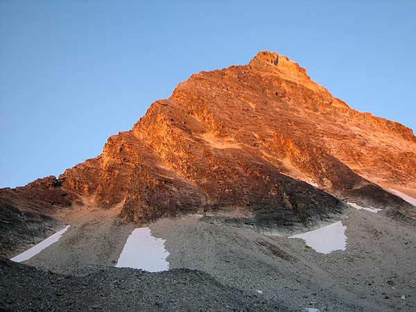
Looking up from the col (notch), where we arrived just after sunrise. We roped up here, although we used more running belays than fixed anchors. |

Rest break three quarters of the way up the ridge. |
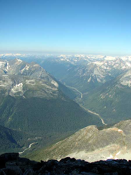
Looking down at Rogers Pass and the trans Canada highway. |

View south from Mount Sir Donald. |

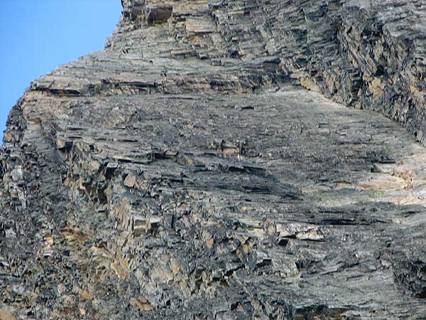
Upper portion of rock climb, where the steepness increased and belayed rock climbing was required. |

View down from near summit, showing us climbing (near center of image). |
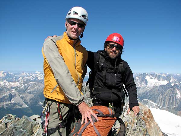
Dave Scott, mountain guide and Greg Frux at summit. |
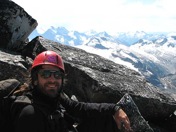
Happy to be at the top! |

This was the pleasant part of the descent. Higher up we downclimbed loose scree fields with huge exposure. |
The descent included 8 rappels (six on this face) from fixed anchors. It was rapid and would have been safe, except for rockfall from climbers above. Several climbers high up on the ridge in this image give a sense of scale. |

Pika at base camp. |
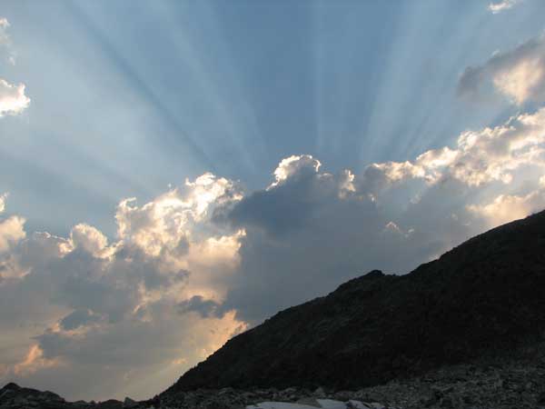
We wrapped up a perfect climb, by spending a second night at base camp. |
About Gregory Frux |
Wilderness Painting |
New York City Paintings |
Etchings |
|
| All contents © 2017 Gregory Frux | ||||